University of East Anglia
Type of resources
Topics
Keywords
Contact for the resource
Provided by
Years
Formats
Representation types
Update frequencies
-

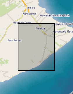
The data is from four three-component broadband seismometers deployed along the lower east rift zone during the 2018 Kilauea eruption for four months. The instruments were deployed towards the end of July before the eruption ceased, and were placed in locations that would complement the existing USGS seismic network.
-

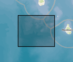
Earthquake hypocenters for all earthquakes detected on Montserrat by the Montserrat Volcano Observatory seismic network from July 1995 to February 2018 inclusive. Information includes: Origin Time, Latitude, Longitude, Depth, Hypocenter Errors, RMS and the number of stations used for each location.
-

Compositional and volcanological data from a small-volume explosive-effusive volcanic eruption on Ascension Island, South Atlantic. Multiple samples of pumice and lava spanning the whole eruption sequence were collected from several locations in the area surrounding NE-Bay on Ascension Island. This dataset includes compositional, clast size, abundance, clast density and vesicle texture data for the products of the Echo Canyon eruption. Data was collected between the 12th June 2018 and the 30th August 2020 on Ascension Island and at the University of East Anglia, UK. Compositional data was collected using X-ray fluorescence (XRF), density of pumice clasts using the Archimedes suspension method and textural data by visual inspection of sample vesicle shape and size, all at the University of East Anglia, UK. Clast size and abundance was semi-quantitatively estimated in the field on Ascension Island and later checked against photographs. This data provides a framework through which changes to eruption style were reconstructed and is useful to any persons wishing to study or compare small-volume eruption deposits which record eruptive transitions. The data supports and forms the basis of Davies et al., (2021) (DOI : 10.1007/s00445-021-01480-1) and forms part of B V Davies’ Natural Environment Research Council funded PhD project investigating eruption controls on Ascension Island. Bridie V Davies collected and interpreted the data with assistance from Jane H Scarrow and Richard J Brown on Ascension Island, and Jenni Barclay at the University of East Anglia, Bertrand Leze performed XRF on prepared samples. All data collected is included in this resource.
-

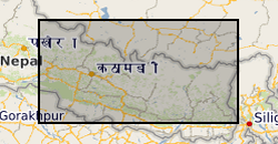
Raster (TIFF) file showing the simplified main bedrock geology units that comprise a ~45,000 km2 region of central-eastern Nepal.
-

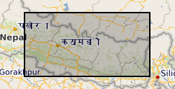
This file contains the point data and areas (in m) of 12,838 monsoon-triggered landslides that occurred during distinct monsoon seasons between 1988 and 2018 across a 45,000 km2 region of central-eastern Nepal.
 BGS Data Catalogue